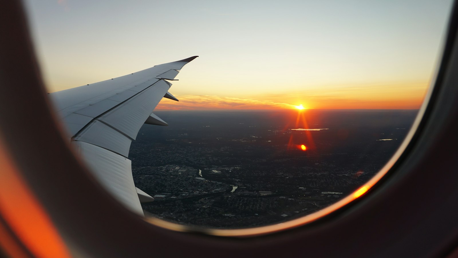
Most safety advice for solo travel assumes you'll remember to do the safety thing at the exact moment you need it — turn on location sharing right as you're getting into an unmarked taxi, say. In practice, that's exactly the moment you won't think to do it. The habit that's actually worked for us is treating Google Maps' safety features as a standing part of any travel day, not an emergency reaction we scramble for once something already feels wrong. None of this is exotic advice. It's mostly just remembering to do fifteen seconds of setup before you need it, instead of after.
Turning on location sharing as a routine, not a reaction
Before starting any day of solo travel — a long bus ride, a hike, a night out somewhere unfamiliar — we open Google Maps, tap the profile icon in the top right, choose "Location sharing," then "New share." From there you pick a duration: anywhere from 15 minutes to 24 hours, or "until you turn this off" if you want it running longer than a day. We almost always pick a single trusted contact rather than a group chat of five people, mostly because one person actually checking is more useful than five people assuming someone else is checking. It takes about fifteen seconds and means someone always has a rough sense of where we are without needing to check in constantly by message.
The 24-hour ceiling nobody really warns you about
Here's something we didn't expect the first time we relied on this: even though Google Maps offers an "until you turn this off" option that's meant to run indefinitely, a fair number of users — us included, on one trip through the Balkans — have found it quietly reverts to a shorter window and stops updating without much warning. It's not consistent, and it's not something Google has fully explained, but it's common enough that we now treat "indefinite" sharing as something to double-check rather than something to trust blindly on a multi-day trip. Our workaround is unglamorous: we glance at the share status once a day and just tap "New share" again if it's lapsed. It's a thirty-second habit, and it means we're not finding out three days into a trip that no one's been able to see our location since day one.
What it actually looked like on the road
Traveling solo through Vietnam, this became close to automatic — share location before an overnight bus, again before a solo walk after dark, and stop sharing once safely somewhere with people around. On one stretch between Hoi An and Hue, the bus was nearly four hours late leaving, and having location sharing already running meant the friend watching from home could see exactly where the delay was happening rather than getting a string of "still not sure when we're leaving" messages. It's a small habit that costs almost nothing and quietly removes one layer of worry from both ends, for the traveler and for whoever's checking in remotely.
A starred home base, always one tap away
We star our accommodation as soon as we check in, every time, regardless of how confident we feel about remembering the way back. To do it: search or tap the pin for your hotel or guesthouse, then tap the bookmark icon in the place card. Starred places show up in your saved list and stay accessible even offline, which matters more than it sounds like it should. On a solo stretch through Georgia's mountain regions, this turned out to matter more than expected — after a long, disorienting day of travel with patchy signal in the Kazbegi area, having the guesthouse starred meant getting back was a single tap rather than trying to reconstruct a route from memory in the dark with a phone at 9% battery.
Why we download the map before we need it, not after
Offline maps are the feature that gets the least attention in most "Google Maps safety tips" roundups, and it's arguably the one that's saved us the most. To set one up: make sure you're online and signed in, tap your profile icon, choose "Offline maps," then "Select your own map," and adjust the box to cover the area you'll actually need — not just the town center, but the roads and trailheads leading in and out of it. Download over Wi-Fi where possible, since a decent-sized region can run several hundred megabytes. Once it's downloaded, driving directions, GPS positioning, and place search all keep working with no signal at all — though live traffic, transit schedules, and walking or cycling directions do not, so it's closer to a very smart paper map than a full replacement for a connection.
One detail that catches people out: downloaded areas aren't permanent. They're generally valid for about a year, and Google Maps tries to refresh them automatically over Wi-Fi as the expiration date gets close, but if you've been off Wi-Fi for a while or the auto-update didn't run, you can end up relying on a map that's quietly gone stale. We've made a habit of checking the offline maps list a day or two before any remote trip and manually tapping "Update" if anything looks close to expiring, rather than assuming it'll sort itself out.
Incognito mode is great for privacy, terrible timing if you forget it's on
If you keep Incognito mode on by default in Google Maps for general privacy — which is a reasonable habit on its own — it's worth knowing that both offline map downloads and location sharing are unavailable while it's active. We learned this the inconvenient way, trying to download a map for a remote stretch of road in Kenya with no signal to spare for troubleshooting. The fix is simple once you know it: tap the Incognito icon, turn it off, do what you need to do, and switch it back on afterward if that's your normal setup. It's a two-tap problem, but only if you remember it's a setting at all.
Where Google Maps' safety tools stop
It's worth being clear-eyed about the limits here: Google Maps doesn't have a dedicated panic button, and live sharing only helps if someone's actually watching and able to act. For a genuine emergency, your phone's own built-in emergency SOS feature — which can alert local services and share your last known location — does the job Maps itself isn't built for. Treat location sharing as a background safety layer, not a replacement for good judgment about where you're heading solo in the first place, something that mattered as much traveling through Kenya's Masai Mara region as anywhere else on this list, where mobile signal disappears for long stretches between camps and offline maps plus a paper backup from the lodge desk did more work than any app alone could.
What we actually tell the person watching our dot
Sharing your location is only half the system — the other half is making sure the person on the receiving end knows what they're looking at and what to do if something looks off. Before a solo leg of any trip, we send a short message along the lines of: here's roughly the route, here's when we expect to arrive, and if the dot hasn't moved in a few hours and you can't reach us by message, that's worth a call. It sounds obvious written out, but without saying it explicitly, most people watching a blue dot have no real sense of what "normal" looks like versus what's actually concerning, and they'll either worry over nothing or miss something real.
What we carry as a backup, not a replacement
Google Maps is our default, but we don't treat it as the only tool in the bag on longer solo stretches, especially in places where its business listings and road data thin out — rural Georgia and parts of the Kenyan bush both fall into that category. HERE WeGo and OsmAnd are the two backups we actually keep installed, both built to work fully offline rather than as an add-on feature, and OsmAnd in particular tends to have better trail and footpath detail in places Google hasn't mapped as thoroughly. We're not suggesting you need three navigation apps for a city weekend — for most trips, Google Maps alone covers it. But for a multi-day trek or a genuinely remote drive, having a second offline app downloaded ahead of time costs nothing and has bailed us out more than once when one app's data for a specific stretch of road turned out to be wrong.
The habit worth keeping after the trip too
What's stuck with us longest isn't any single feature but the routine itself: sharing before, checking in after, starring the base, downloading the map ahead of the dead zone rather than during it. None of it is complicated, and none of it requires a paid app or extra hardware — it's mostly about doing the setup while you still have signal and a clear head, rather than fumbling with settings after you've already realized you need them. Google's own support documentation on Google Maps covers the exact steps for sharing, starring, and offline downloads if you want a refresher before your next solo trip, and it's genuinely worth the ten minutes if you haven't looked at it in a while — the app changes these menus more often than most people notice.
Frequently Asked Questions
How do I share my live location on Google Maps while traveling alone?
Open your profile icon, choose Location sharing, tap New share, and set a duration — anywhere from 15 minutes up to 24 hours, or "until you turn this off" for longer travel days.
Does Google Maps have an emergency or SOS feature?
Google Maps itself doesn't have a dedicated SOS button, but your phone's built-in emergency SOS feature can share your last known location with emergency contacts alongside a call to local services.
Is it safe to share my location constantly while solo traveling?
Sharing with one or two trusted contacts for the duration of a travel day is generally sensible; leaving it on indefinitely with a large group is more of a battery and privacy trade-off than a safety one.
Do offline Google Maps downloads expire?
Yes, downloaded offline map areas are generally valid for about a year, and Google Maps tries to update them automatically over Wi-Fi as they approach expiration — it's worth checking manually before a remote trip rather than assuming it happened.
Does Incognito mode affect location sharing or offline maps?
Yes. Offline maps and Location sharing are both unavailable while Incognito mode is turned on, so if you keep it on by default, you'll need to switch it off before setting either one up.